KinSource
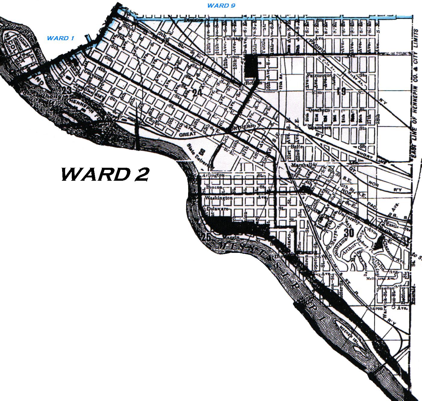
1910 Map of Minneapolis - Ward 2
From Davison's 1910 Minneapolis City Directory
Ward 2 of Minneapolis was bounded as follows:
Starting at Division St (present day Hennepin Av E) and the eastern city limits (the Hennepin County - Ramsey County border),
go south following the eastern city limits to the the Mississippi River,
then following the Mississippi River northwest to Central Av,
then northeast on Central Av to 9th St S E,
then southeast on 9th St S E to Division St,
then east on Division St to the eastern city limits.
Ward Map - Minnesota Historical Society
The northwestern and western borders of Ward 2 are indicated by the blue line.
Click on the map to enlarge it and launch it into a separate window.
Copyright 2002 KinSource All Rights Reserved